Home / Explore / Huntsville trails and parks
Huntsville trails and parks
Choose a city park, greenway or Monte Sano trail and prepare for the terrain.
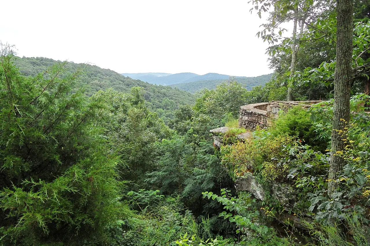
For a gentle park walk, start downtown at Big Spring Park. For a longer route, compare the city’s greenways with Monte Sano’s natural-surface trails before choosing shoes and a trailhead.
Match the route to your group
Big Spring Park
The city lists a walking path and green space at 200 Church Street. Check the park directory for facilities.
Trailhead Greenway
The city describes a loop near U.S. 72 and Moores Mill Road, with parking on Trailhead Main Street NE. Consult the map and parking details before leaving.
Monte Sano Nature Preserve
The Land Trust’s trail guide identifies trailheads and difficulty. Wildflower Trail follows Fagan Creek; the surface can be rocky and slippery after rain. Carry a map and turn back when conditions or daylight call for it. Monte Sano State Park and the Land Trust preserve have connected trail networks but different managers. Check the state park for entry and closing information when your route crosses into it.
More greenways by location
The city’s greenway guide lists Aldridge Creek Greenway in South Huntsville at 5.49 miles, with parking at Ken Johnston Park and Ditto Landing. For a shorter downtown route, Gateway Greenway is 0.60 miles from Jefferson Street to Pratt Avenue, with parking along Meridian Street. Trailhead Greenway near U.S. 72 and Moores Mill Road is 1.25 miles, with parking on Trailhead Main Street NE. These lengths describe routes, not necessarily a round trip: choose your turnaround before setting out. Check the city map and conditions before leaving. For unpaved preserve trails, expect uneven footing and bring water; a greenway and a rocky mountain trail offer different experiences even when their distances look similar.
Check official sources before you go.