Home / Neighborhoods / Monte Sano guide
Monte Sano guide
Understand the state park and nature preserve before planning a Monte Sano outing.
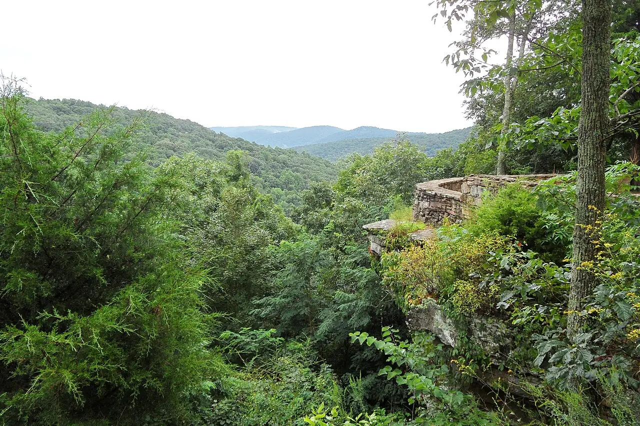
Monte Sano offers both a state park and a Land Trust nature preserve. Their trails connect, but the areas have different managers and rules. Decide which trailhead and route you want before heading up the mountain.
Pick your route
Monte Sano State Park
Monte Sano State Park has hiking and biking trails and overnight accommodations. Check the park’s current admission, hours and trail information before visiting; trails close before the park does.
Monte Sano Nature Preserve
The Land Trust’s Monte Sano Nature Preserve has free public trails of varying difficulty. Its easy hikes guide describes Wildflower Trail as a family option, while noting uneven, rocky footing and slippery conditions after rain. Download a map, bring water and leave enough daylight for the return. Check current trail and access notices with the appropriate manager, particularly if your route crosses between the preserve and state park.
Choose the surface and budget
The preserve’s Wildflower Trail follows Fagan Creek on natural ground; its rocky sections can be slippery after rain. The Land Trust also describes Tollgate Greenway as a 1.2-mile paved shared route. A paved greenway and a mountain trail demand different footwear and effort; check the preserve map, the return distance and current notices. For a longer state-park visit, check entry fees and closing times directly. A free preserve trail does not remove the state park’s admission requirements when entering the park. See trails and parks for city greenway alternatives.
Check official sources before you go.